Close
Back


From now on you can download videos from our website
If you would also like to subscribe to the newsletter and receive our latest updates, click on the button below.
Enter the email address you registered with and we will send you a code to reset your password.
The password must be at least 12 characters long, no spaces, include upper/lowercase letters, numbers and symbols.
Click the button to return to the page you were on and log in with your new password.
26 February 2026
1 MIN READ
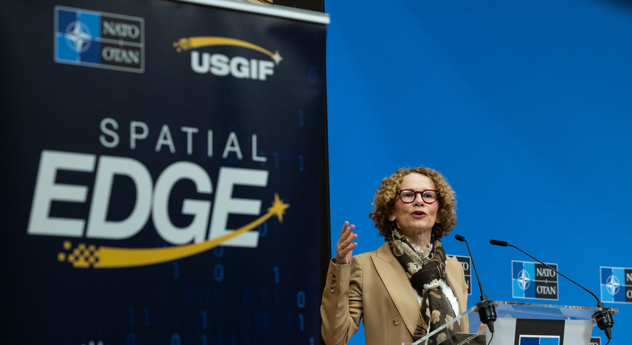
On Thursday (26 February 2026), NATO HQ hosted the first “Spatial Edge: USGIF Day”, bringing together experts from Allies, industry and academia to examine how geospatial intelligence (GEOINT) supports NATO’s collective defence.
Opening the event, NATO’s Deputy Secretary Radmila Shekerinska underlined the growing importance of geospatial intelligence for situational awareness and operational effectiveness across the Alliance. The Deputy Secretary General also highlighted the value of working with partners and the private sector in a rapidly evolving security environment.
Organised by NATO Headquarters’ GEOINT Team in cooperation with the United States Geospatial Intelligence Foundation (USGIF), the one-day programme explored how Allied interoperability when it comes to geospatial intelligence can strengthen NATO’s deterrence and defence. Discussions also looked at the role of emerging technologies across the intelligence enterprise, including artificial intelligence and automation.
The USGIF Day at NATO contributes to NATO’s broader efforts to strengthen intelligence collaboration and leverage emerging technologies to enhance readiness and resilience across the Alliance.


