Close
Back


From now on you can download videos from our website
If you would also like to subscribe to the newsletter and receive our latest updates, click on the button below.
Enter the email address you registered with and we will send you a code to reset your password.
The password must be at least 12 characters long, no spaces, include upper/lowercase letters, numbers and symbols.
Click the button to return to the page you were on and log in with your new password.
06 May 2022
2 MIN READ
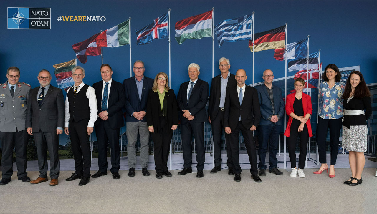
Rapid environmental changes resulting from climate change have a direct impact on our shared security and call for innovative technological solutions. NATO has started a new project using Big Earth Datacube Analytics for transnational security and environmental protection. Today (5 May 2022) marked its kick-off, at an event hosted at NATO Headquarters in Brussels by the NATO Science for Peace and Security (SPS) Programme, featuring the participation of project stakeholders and experts from Denmark, Germany, Israel and Switzerland.
The Sixth Assessment Report of the United Nations Intergovernmental Panel on Climate Change (IPCC) published this year highlights that changes in extremes such as heat waves, heavy precipitation, droughts and tropical cyclones, are more and more frequent. Although NATO is not the first responder for every challenge related to climate change, the Alliance has a role to play in a comprehensive response to climate change. This is why, at the 2021 Brussels Summit, Allies endorsed a Climate Change and Security Action Plan. Furthermore, climate change may feature in the next Strategic Concept that will be adopted at the NATO Summit in Madrid scheduled at the end of this June. A major challenge for the future is to enable continuous monitoring of climate change and establish early warning capabilities to ensure the security and protection of our populations.
Cube4EnvSec is a new multi-year project supported by the NATO Science for Peace and Security (SPS) Programme, which will involve experts from Germany, Israel and Denmark. “As climate change and security are a growing priority for the Alliance, the NATO SPS Programme is boosting its engagement with Allies and partner nations on this shared challenge,” stated Dr. Deniz Beten, Senior SPS and Partnership Cooperation Advisor. In line with the Programme's decades of experience addressing environmental security issues, Cube4EnvSec will demonstrate how datacubes can contribute to agile insights on Big Earth Data for observing natural and human-made threats of any kind, combining ground, space, and airborne sources ad-hoc and in real-time, with particular emphasis on security-relevant aspects. According to Rene Heise of the Climate and Energy Security Section at NATO Headquarters "This new generation of high-resolution (1 to 10 cm) imagery will provide greater quality and accuracy to procedures such as change analysis for airfields on unstable ground (e.g. thawing permafrost), flood simulations, harbour security in case of sea level rise or land slide risk.”
The application of this technology will be demonstrated in a number of cases, such as thunderstorm warning for aviation and harbour protection. Attempting to integrate warnings from space weather events will be particularly relevant for areas in the High North. The project will demonstrate the benefit of spatio-temporal datacubes such as satellite, climate and high-dynamics meteorological/oceanographic (METOC) data offered in a ready-to-use analysis. "We aim at showing the benefits of massive space/time federated datacubes as a particular enabler for better understanding our planet", explained Dr. Peter Baumann, one of the project’s co-directors based at Jacobs University in Bremen, Germany.